Sporenplan
Station map is an item in the form of a book that shows individual track and yard layouts within stations in schematic form. It is used for navigation and identifying tracks, switches, service points and other features within a station.
To help identify all map features, there’s a legend view on the first page.
To read and change switches remotely, the driver must own the Dispatcher license, and aim at the switch icons to interact with them.
Each yard layout shows world directions and orientation to the nearest station office, which can help navigate in combination with a compass.
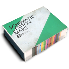
De onderkant van de tekening is voorzien van tabbladen voor snelle navigatie op stationsnaam.
Dit voorwerp wordt helemaal aan het begin van de sessie verkregen en kan bij verlies geforceerd teruggevonden worden met behulp van het menu.
See also: Railway Terminology, Track ID Signs, Dispatcher, Comms Radio Switch, Route Map, Station Office, Service Point, Shops, Compass, Item Retrieving, Distance Tracker, Switch Setter